About Us

László Molnár

My name is László Molnár. I am a cinematographer and photographer. I have four decades of professional experience, which includes the creation of aerial footage and photographs.

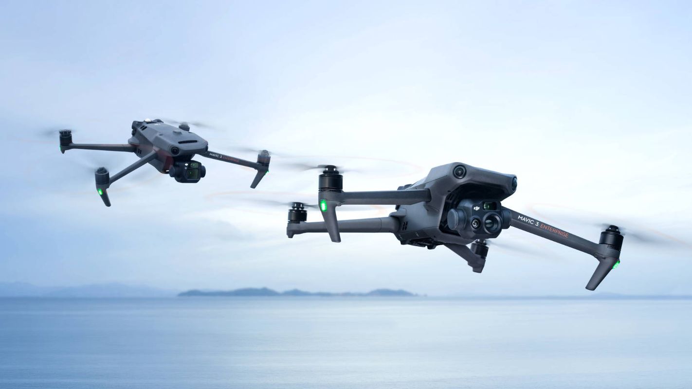
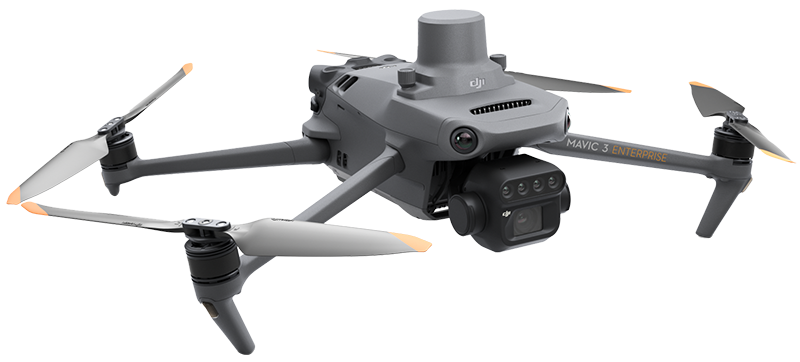
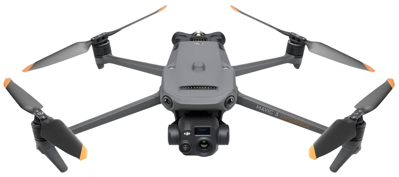
The development of technology has made it possible to use drones with high efficiency both in agriculture and in many other areas of life. I had been waiting for this turning point for years, when drones and the various sensors that can be mounted on them could be used with very high quality and efficiency.

I believe it is important not to exploit our environment and our world, therefore I strive to do everything I can to take better care of our planet. Part of this effort is using the most modern technology, for example, to support precision agriculture.

I have always followed technological developments in my field. As an example, in 1993 I was the first in Hungary to perform digital computer-based film editing using the American Apple Macintosh-based AVID system, one of the very first non-linear editing programs.

At the beginning of my career, I spent 9 years producing educational films for schools, followed by another 10 years working as a professional cinematographer at the Hungarian Film and Video Factory.

Another example is the creation of three-dimensional (3D) virtual tours, which enrich the way locations can be presented.

I have always been interested in nature; for many years I created photographic materials and publications for national parks. For two years, I worked as a cameraman and editor for the highly successful Hungarian Television educational series titled Gazdaképző. Agriculture and animal husbandry were the main themes, which it was a pleasure to explore and pass on under the guidance of Dr. György Bálint (Bálint gazda).

I have managed to preserve this attitude to this day. This is why I began working with drone-based remote sensing.


Máté Kotroczó

My name is Máté Kotroczó. I am an IT specialist, programmer, and teacher. I have been working in programming, website development, and solving a wide variety of IT problems for 15 years.

I gained experience in building the codebases of market-leading online stores and their associated enterprise management systems. Throughout my career, I have continuously followed the development of cutting-edge technologies, seeking out their practical applications.

Over the past 6 years, I worked as a secondary school IT teacher at a Waldorf school, where shaping a teaching approach that prepares students for real life was an essential part of my work. I aimed to gain knowledge through direct experience of the present, by observing and understanding the world around us.

Designing data structures, recognizing existing ones, and making them understandable has always been part of my work. Beyond planning the background computational processes, my goal as a web developer is to make them comprehensible, visually enhanced, formatted, accessible, and user-friendly.

The experiences gained while hiking and walking pilgrimage routes strengthened my conviction that it is essential to step out from behind the safety of four walls and fully immerse ourselves in the muddy, manure-scented world of nature, of which we ourselves are an integral part.

My goal is to help others better understand the world around us by connecting information technology and environmental awareness through learning and applying the technologies surrounding drone flight.


What do we fly?

DJI Mavic 3 – Imaging above all

We use DJI Mavic 3 industrial drones to collect raw data for aerial sensing and analysis tasks.

The DJI Mavic 3 redefines industry standards for drones. With a mechanical shutter, a 56× zoom camera, and an RTK module providing centimeter-level accuracy, it elevates mapping and mission efficiency to new heights. The thermal version is available for firefighting, search and rescue, inspections, and night operations.

The Mavic 3M is used for capturing multispectral images of vegetation. With its help, we can reconstruct high-resolution maps of orchards and automatically identify the number of living organisms or trees. This allows us to distinguish trees from other obstacles or objects and generate three-dimensional operational routes for agricultural drones, ensuring more cost-effective operation.

Shared features of our drones

Safe and stable
  • Omnidirectional obstacle avoidance
  • 15 km transmission range
Precise positioning
  • Centimeter-level RTK positioning
  • Microsecond-level time synchronization
Efficient aerial surveying
  • Up to 200 hectares (2 km2) per flight
  • Maximum flight time 35 minutes on a single charge
  • Four-antenna O3 Enterprise transmission
  • Omnidirectional spatial sensing
  • Pre-plannable automatic flight routes

DJI Mavic 3M

For efficient aerial surveying, we must see the invisible. That is why the Mavic 3 Multispectral offers two types of vision. It combines an RGB camera with a multispectral camera to scan and analyze vegetation conditions with complete clarity. Agricultural production management requires precision and data — the Mavic 3M delivers both.

Multispectral camera
  • 4 × 5 MP resolution
  • G/R/RE/NIR (Green, Red, Red Edge, Near InfraRed)
RGB camera
  • 20 MP resolution
  • 4/3 CMOS sensor
  • Mechanical shutter

DJI Mavic 3T

The Mavic 3 Enterprise Thermal (M3T) is part of DJI’s advanced Mavic series, equipped with both thermal and standard cameras. Thermal images and videos allow wildlife monitoring even at night, enabling more accurate estimation of animal populations. It collects visual and thermal data for ground-level inspection of solar power plants and other utilities. It is also suitable for rescue operations in hazardous environments, such as disaster zones or search and rescue missions.

Fast surveying
  • Equivalent focal length: 162 mm, 12 MP
  • 0.7-second interval shooting
Focus and search
  • Up to 56× hybrid zoom
  • 23× split-screen zoom
Thermal camera
  • Reveals the invisible
  • Thermal sensor resolution 640 × 512 pixels
  • DFOV (diagonal field of view) 61°
  • Equivalent focal length: 40 mm
  • Spot and area temperature measurement
  • High-temperature alert
  • Helps locate targets Fast decision-making